[This RR was written by Sean and posted on dirttreaders
here. Additional pictures from Evan]
With 6 weeks to go before the big trip to Epic Mecca, several of us needed a spring training camp for some riding drills. Primarily to hone our technical rock prowess, it would also serve as shake down for our bikes, gear, and yes, our first aid skills. But the chunk terrain that we required wasn’t to be found in San Diego County, the OC, or even SoCal. So with the work week over and the RV loaded up for its first road trip of the year, it was time to leave the land of sanitized trails in search of real chunk. Hold the butter please, just crushed peanuts for the PB&J sandwich.
Day 1
Saturday morning arrived with everyone still groggy from the late night drive.
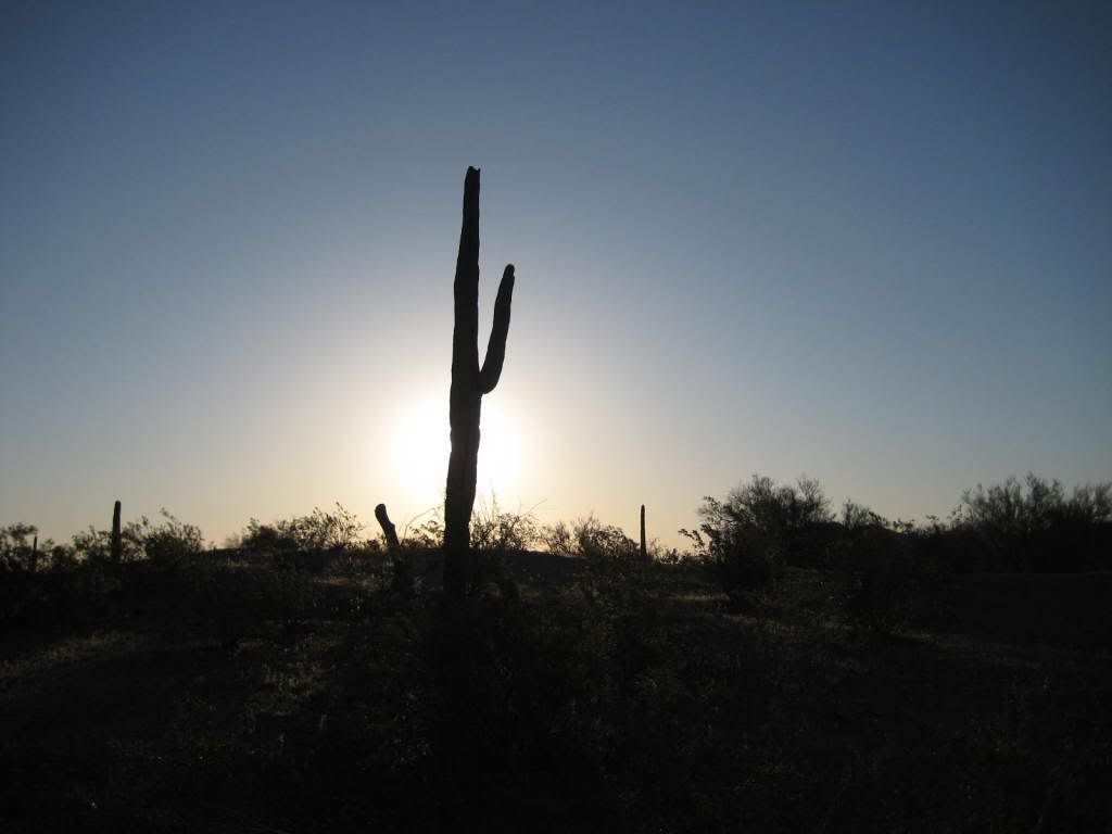
I don't mind waking up early to cool air and sunshine
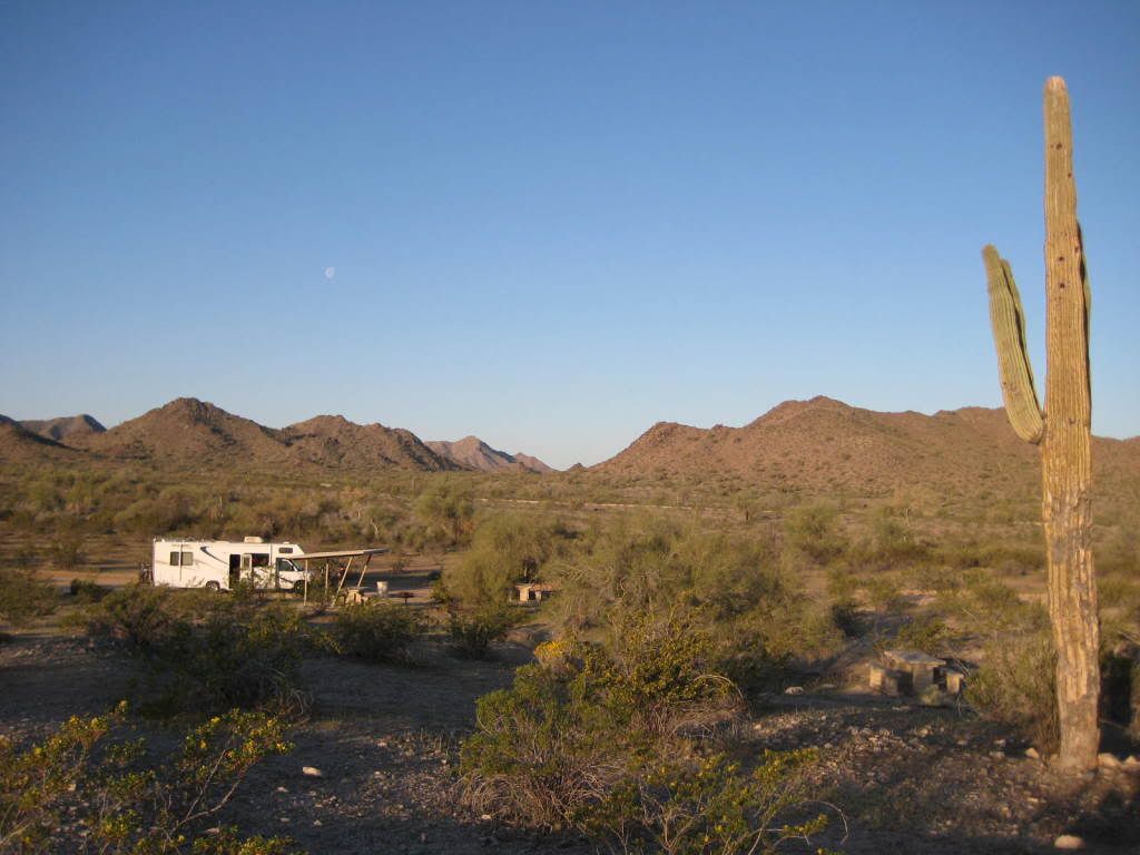
Our campsite 45mins S of Phoenix
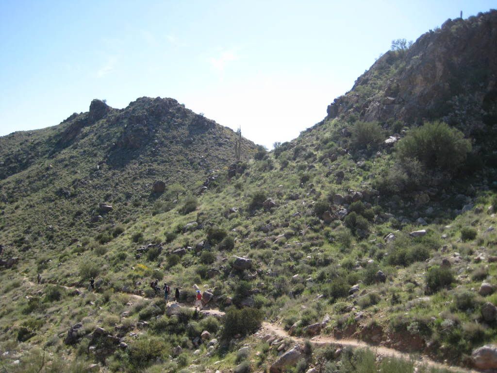
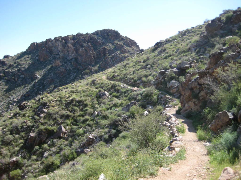
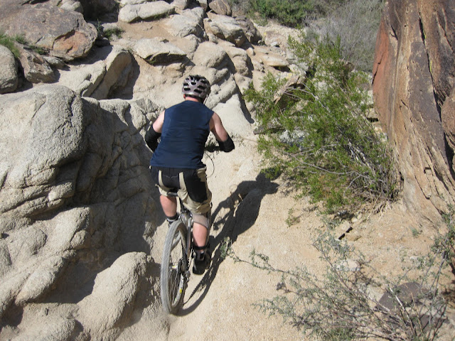
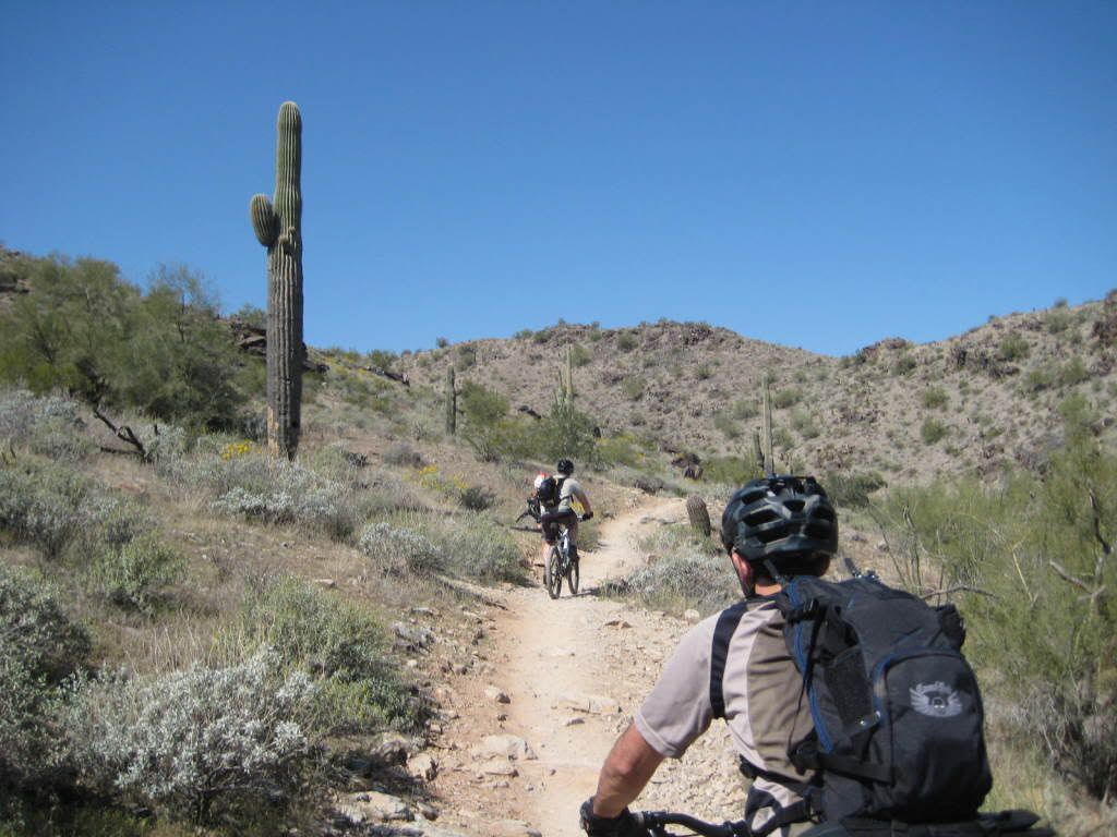
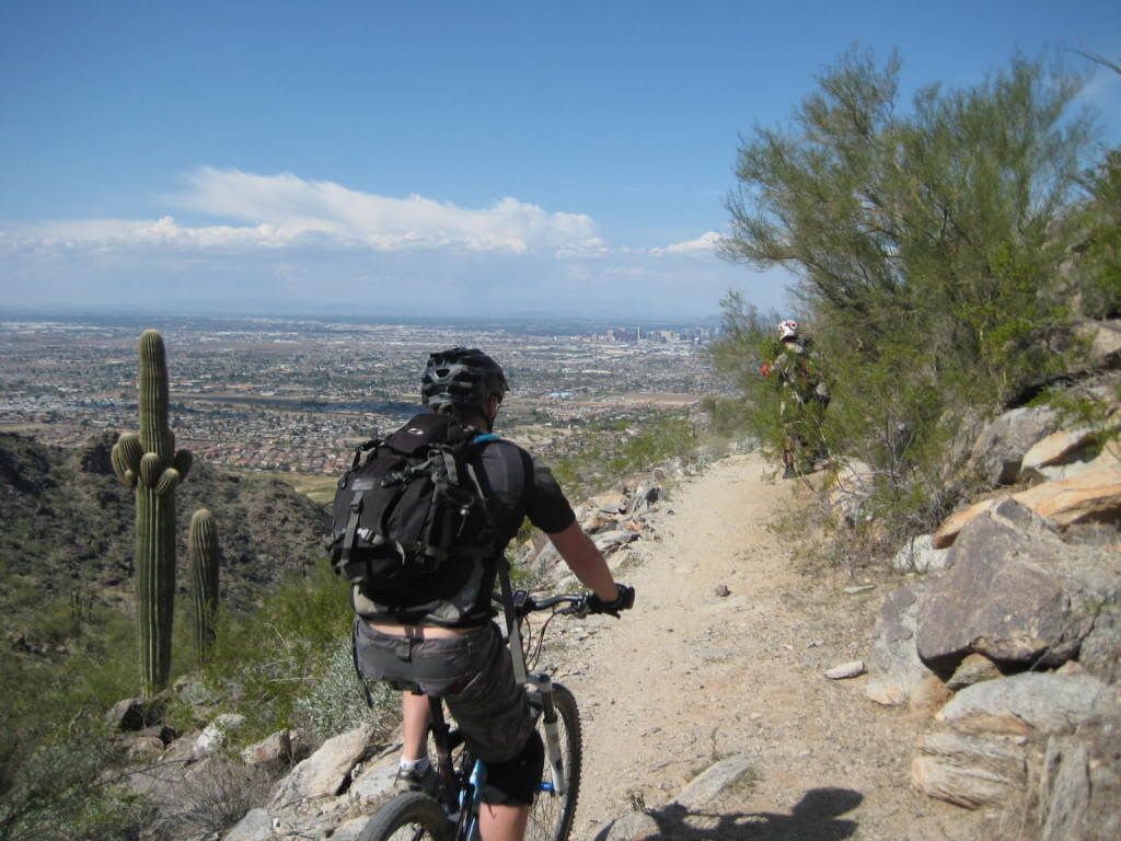
Today’s objective would be to soak in the rock at South Mountain Park in Phoenix. But this isn’t your average city park. At 16,000 acres, it’s the largest municipal park in the country and the hardest trails here make Noble Canyon look like kids play. The sanitizing trail management of SoCal needs to take a few pages of notes that multi-purpose trails can be under 24” wide, aren’t remotely required to be baby bottom smooth, and can have rock features that equestrian people will ride, just like in the Old West. We arrive at the parking lot to find 3 horses coming off the trail serving as the warm-up climb. First up is Javalina.

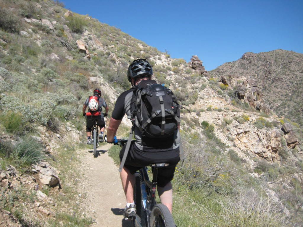
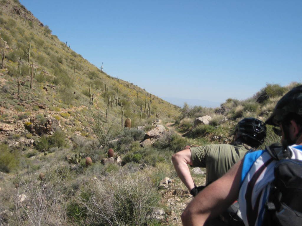
Lots of trail users this day.

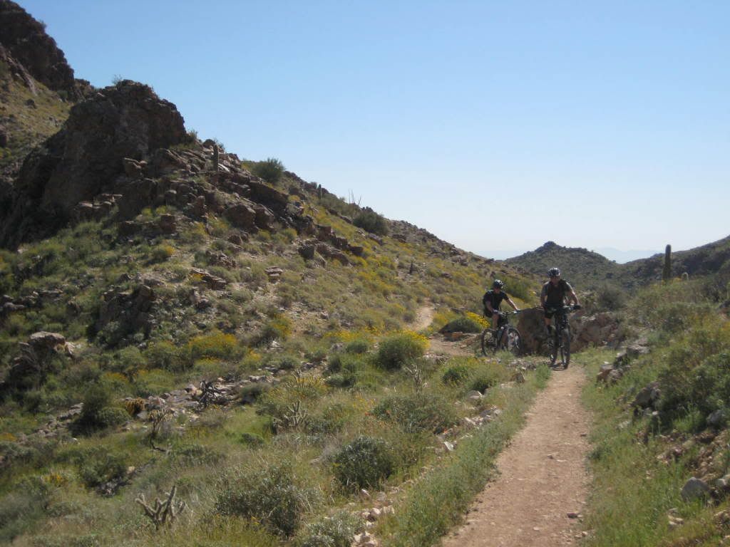
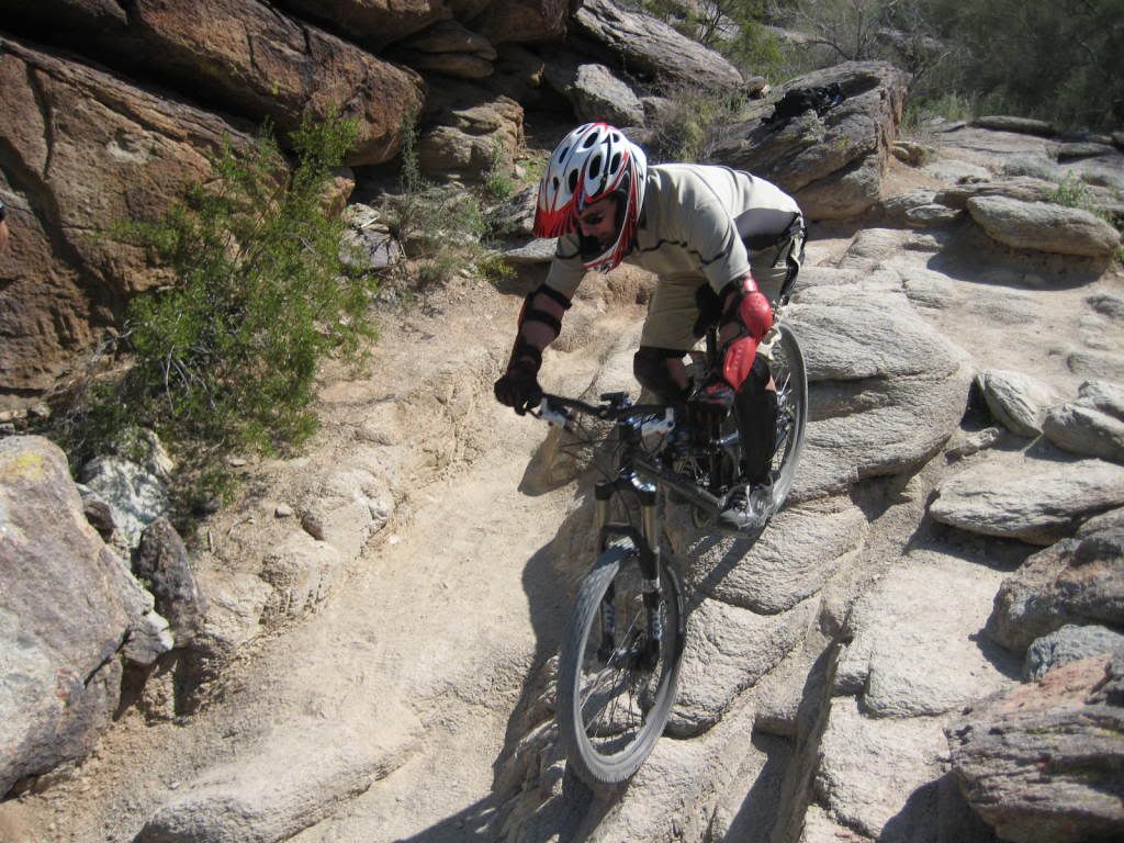
The difficulty increased as we picked up Mormon Loop. Evan works his way up one of many waterbar steps.

Brent descends the final piece of chunk to join National.

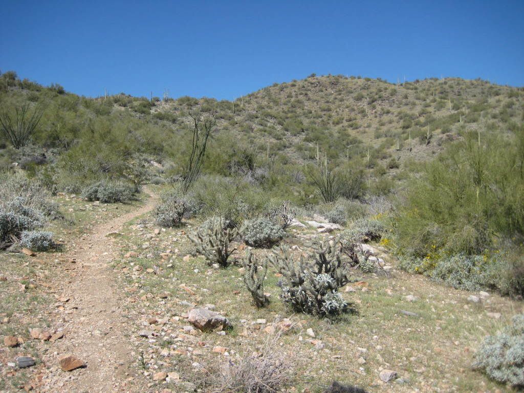
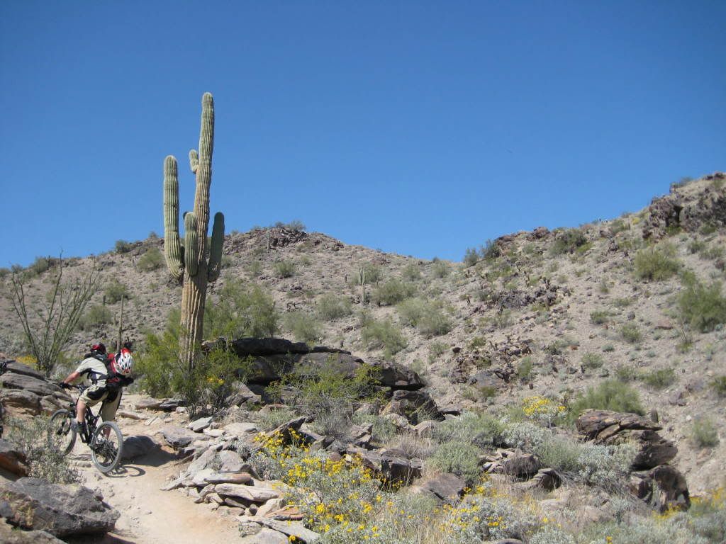
National Trail is the main East-West through the park for a total length of 14.3 miles. But today we’d only be doing 1/8 of it. It’s definitely spring time in the desert with the wild flowers in bloom.

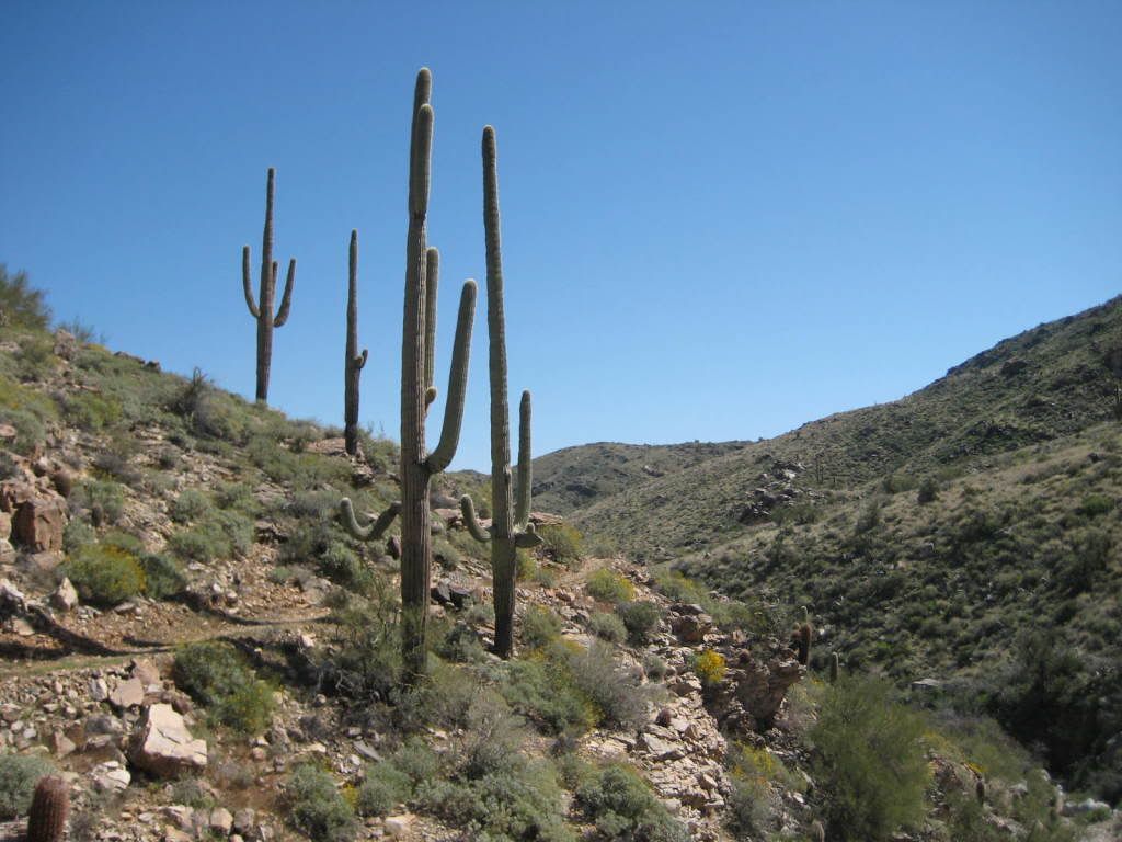
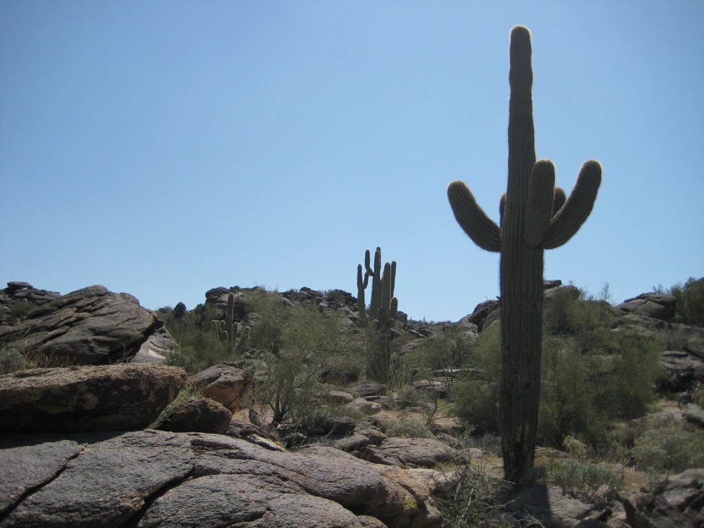
Watch your eyes, the Cactus is in bloom.

More climbing.

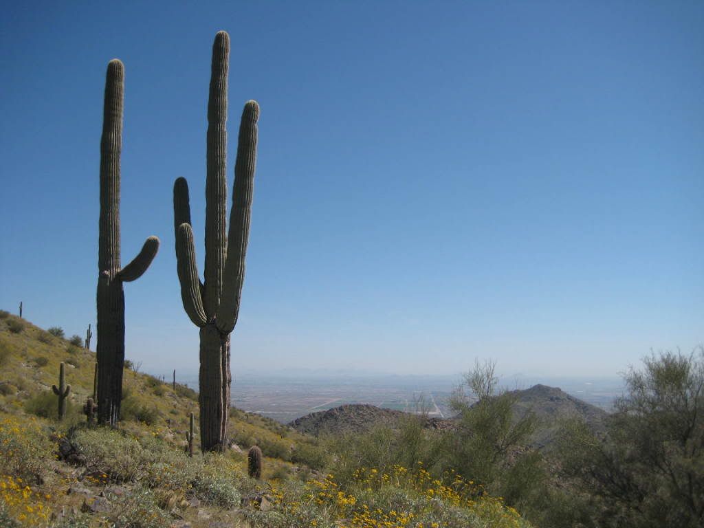
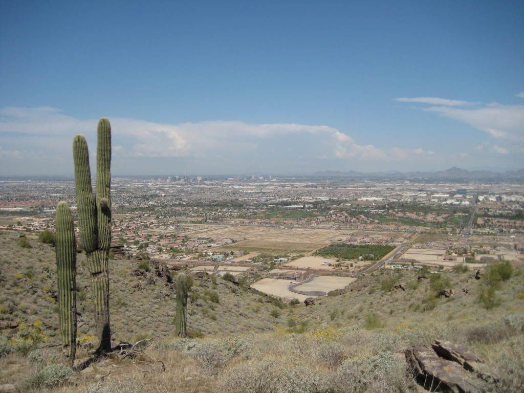
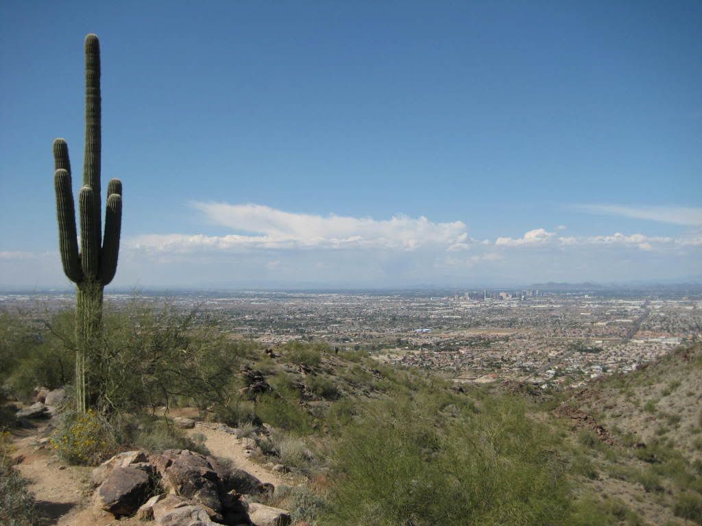
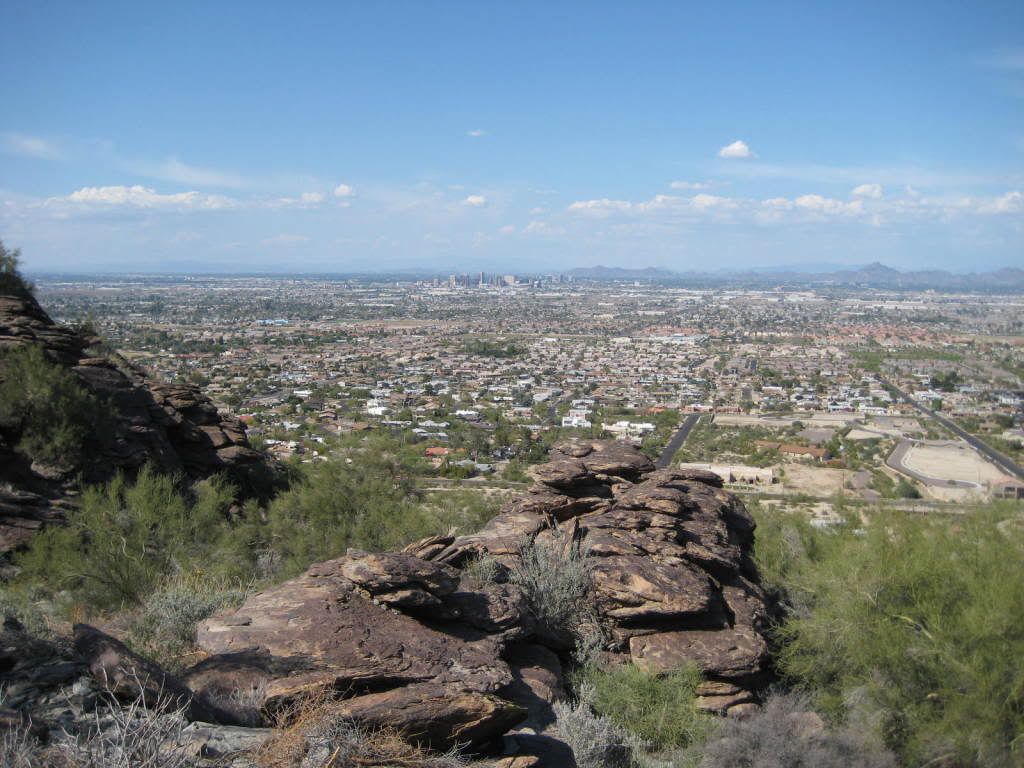
Views overlooking down town Phoenix.

More climbing.

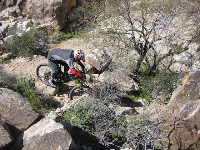
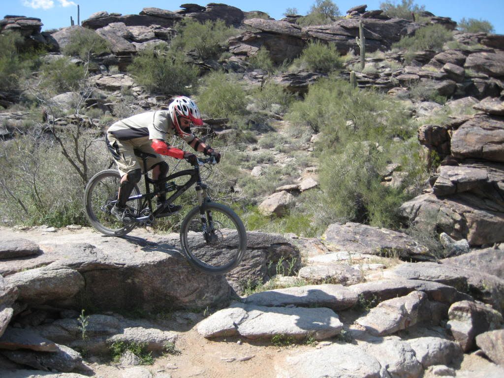
Sean hitting a small drop feature.

Sean hitting the leftside of the waterfall drop feature. In your face Widow Maker.
Evan on the entry section to the waterfall.

Evan taking the rightside of the waterfall.


Sean rides the spine. Nicely done.
Sean goes for the hard line.
Sladnas gets in on the action.
One massive rock landscape.

Sladnas cleans a tough rise
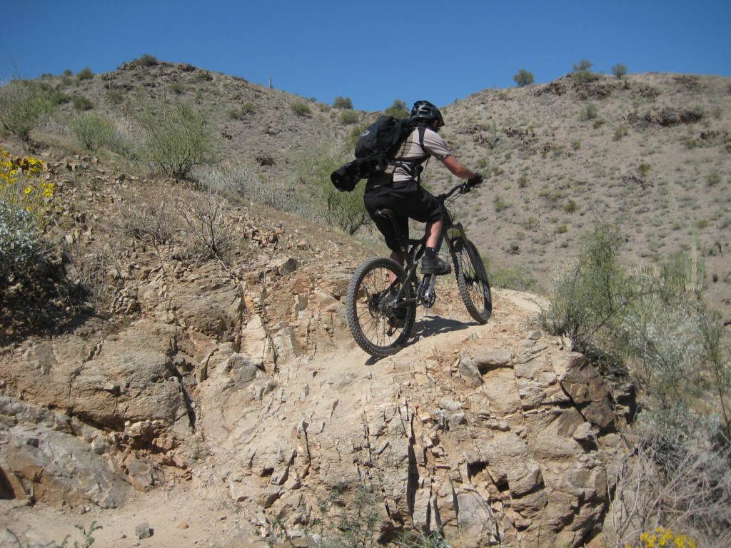
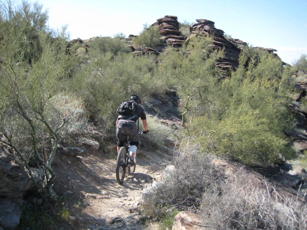
Climbing...this mountain has a lot of tough, technical sections. Balance, endurance and power all required. And you have to pick the right line.
Cool cactus
Nice view towards downtown
Sladnas plans his approach
Threading the needle
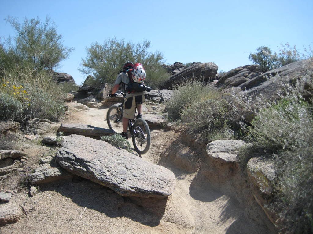
James up next
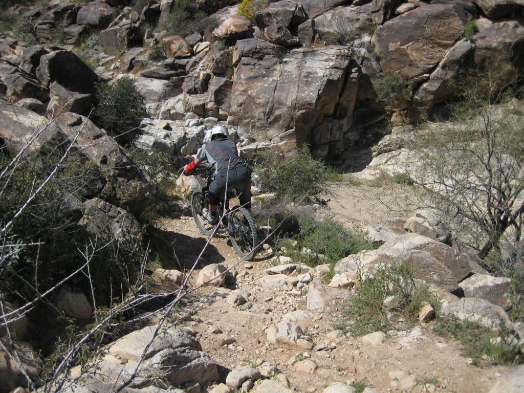
In places the trail was worn down into a trench that you had to balance thru
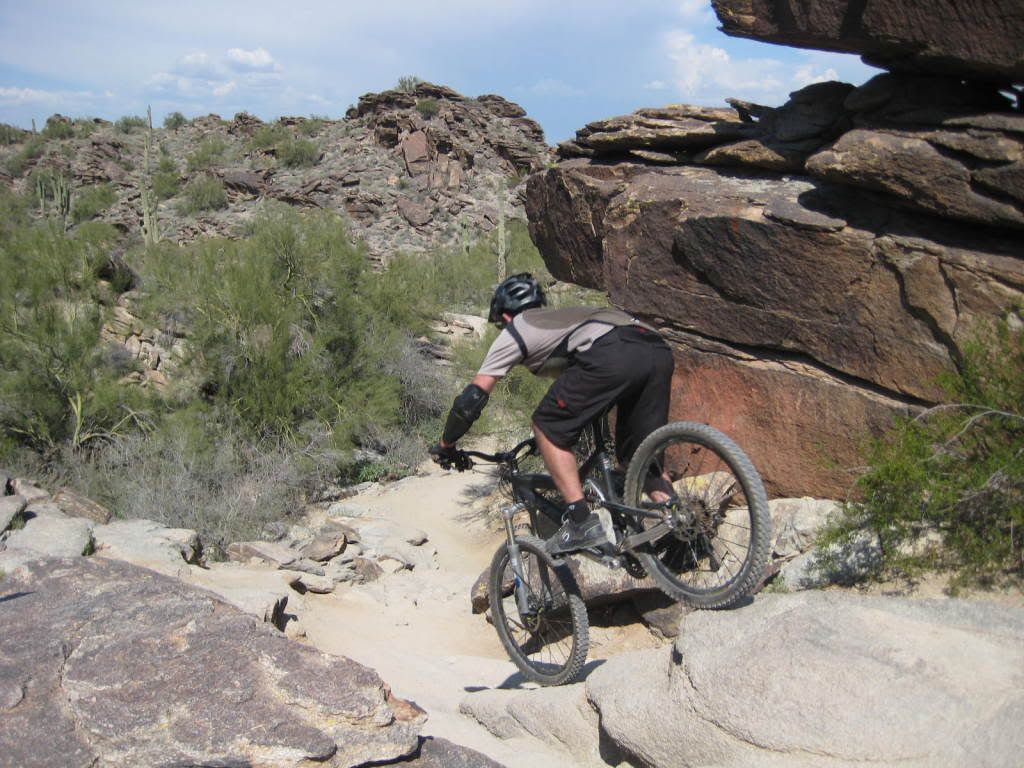
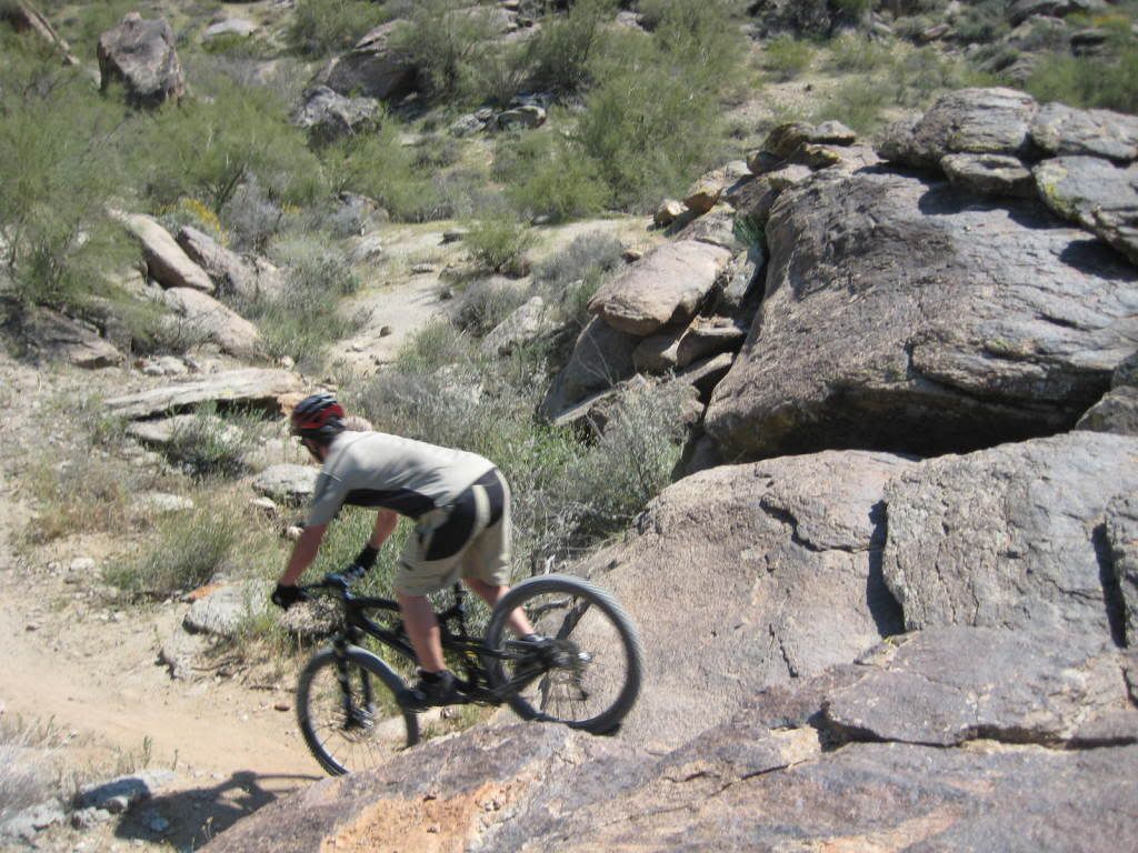
Somewhere about here Mark was so giddy with so much rock, at one point he wanted to strip naked and just roll around in it. Instead we found a rock wall feature with a 90 degree right turn around a large slab.
The approach.

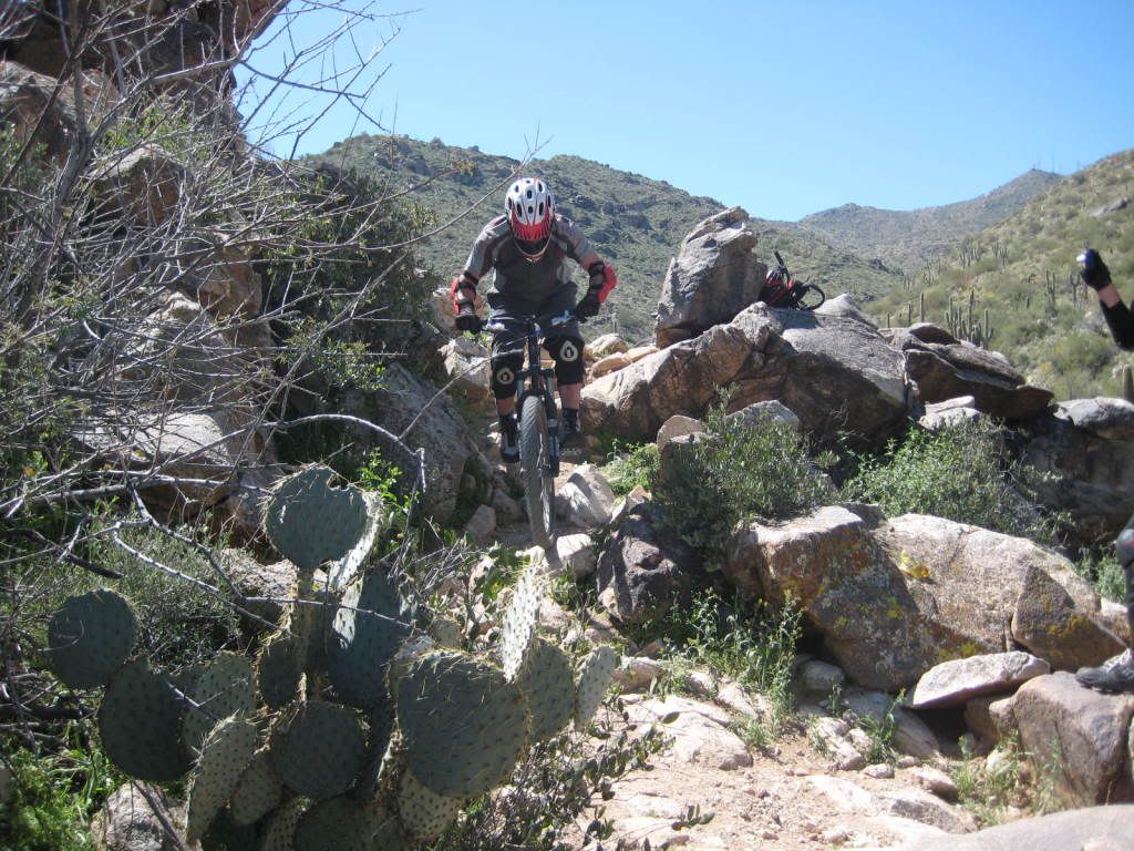
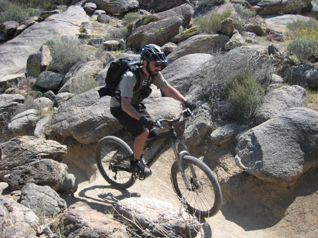
Sean is the first to hit the trailside rock feature
Brent hitting the drop.

Mark hitting it up.

Sladnas just has to be different...
James hitting it down.

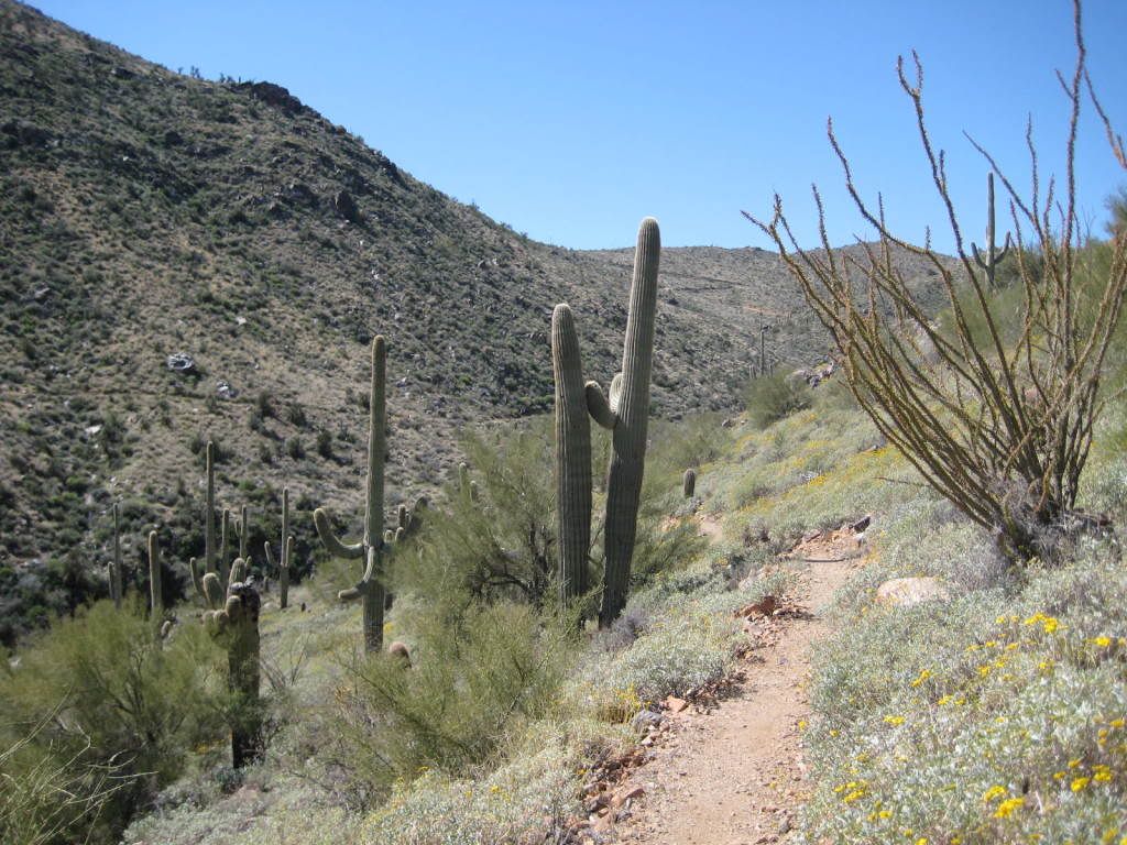
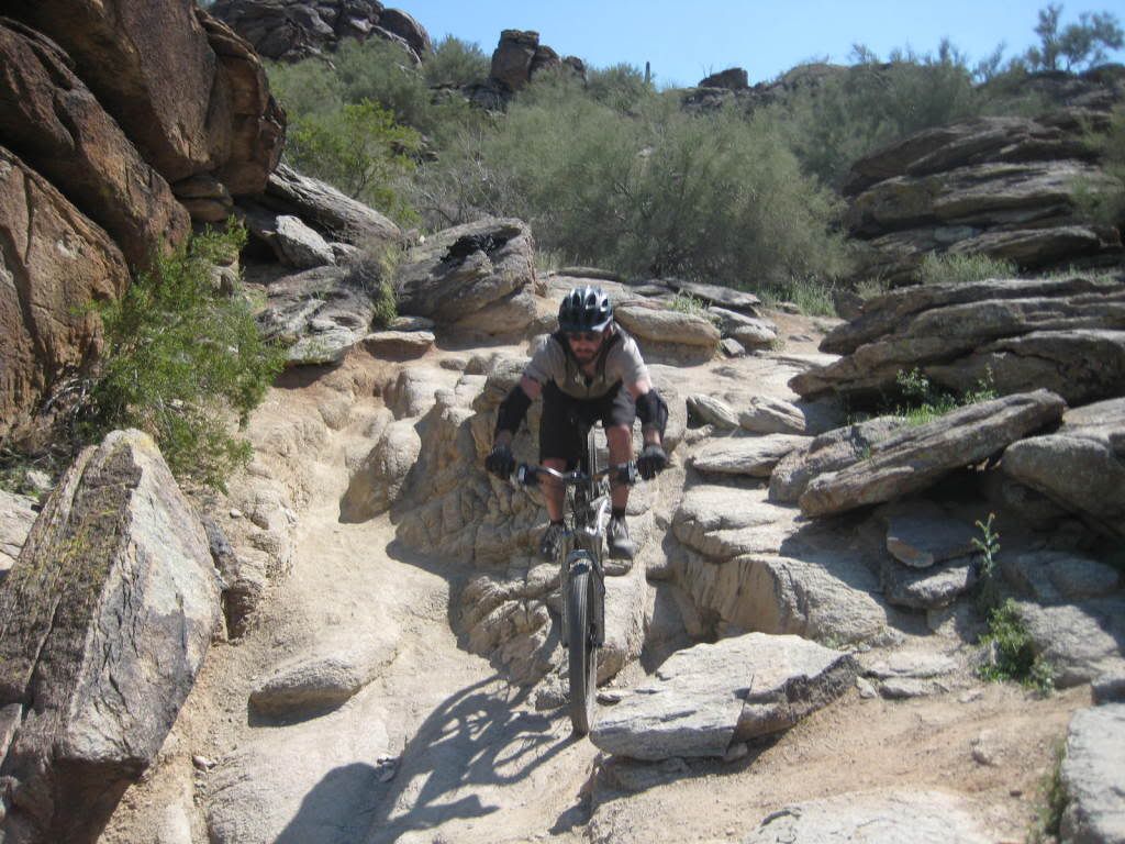
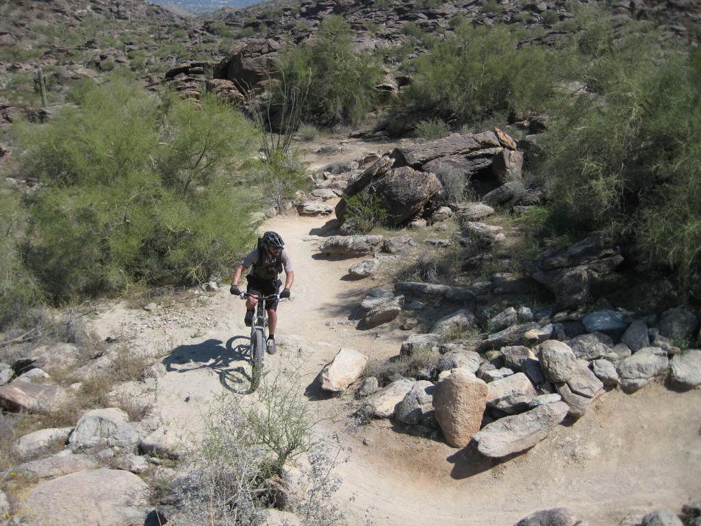
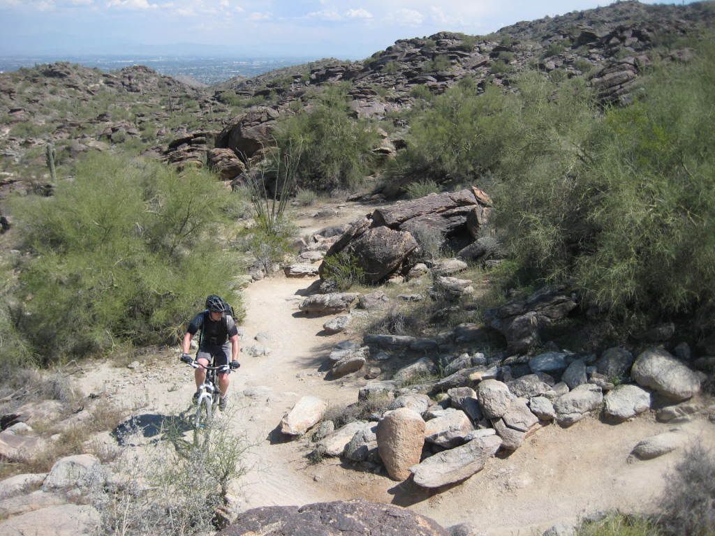
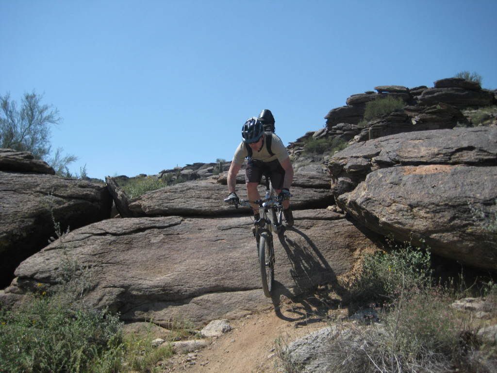
We continue the climb to Buena Vista. On the way, there’s a sweet section of chunk descent. Finally we reach Buena Vista to take a break before the big descent.

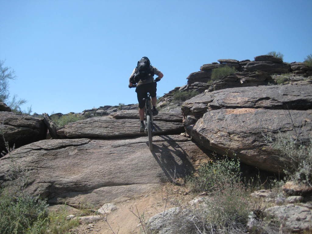
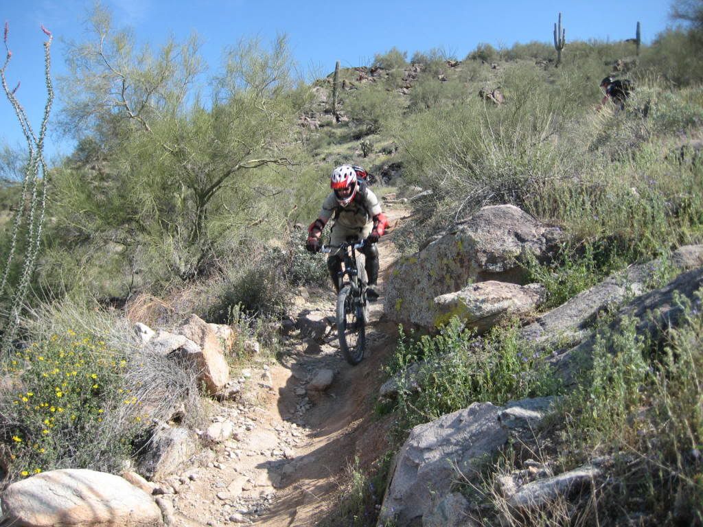
Group shot to account for any lost bodies at the bottom. Geronimo is pure DH chunk, 1,000’ in 2 miles.

Ignore the scenery, this trail demands full attention.

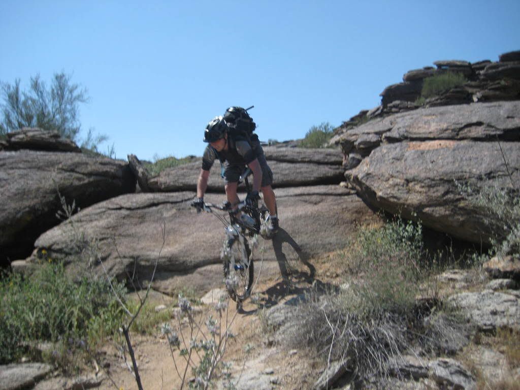
It’s basically stair steps after a point.


Hey James, why is your leg all red???

Uh oh, Mr. Big ring doesn’t play nice with Mr. Leg.

Crap, this looks even worse after it’s been cleaned.

James declined any further fat deposit removal at this time, so Sean helped bandage him up before bleeding to death on the trail.


Nice views as James heads down Geronimo, pre-carnage
And finishes the ride, post-carnage
Geronimo was pretty technical, though nothing compared to what we would ride Sunday.
Sweet views on the way down
After finishing Geronimo, we made our way back to the RV on pavement.
James did make it to the bottom, but the pain was starting to set in. But hey, this was training. So next was the 4 mile street ride back to the vehicle while dodging neighborhood canines catching the whiff of fresh meat pedaling past.

Once reaching the RV, we further delayed James’ critical care needs as we ate sandwiches for lunch and lamented the fact we covered a paltry 8 miles of SoMo trails and 1,600’ of vertical in 4 hours. Mark set to work finding the cheapest and shady urgent care clinic on his phone. He scored as found out the place we dropped off James at had only started doing urgent care just 3 months prior. James came back with the doctor’s pathetic life story after jumping to the head of the line when the nurse freaked out on his gash. But it was a steal at $30…at least until the infection sets in.
Total Distance: 12.24 miles
Total Time: 4:39:26
Ascent: 1927 feet
Average Speed: 2.6 mph
Top Speed: 19.6 mph
Bike: Intense Spider XVP
Map:
View Larger Map
 Random work-day afternoon ride with my boss. Did the north side trails with him to the dock, then went back for some south side action by myself.
 The new pedestrian/bike bridge is finished but not open, so it was fun to see it for the first time. Its going to be nice to not have to ride on the freeway to link up the two sides...
 We also explored a little bit of singletrack near the boat dock that I had never seen before. Started running out of time a bit, so I'll have to check that out more next time.
 Total Distance: 15.36 miles